What you're seeing
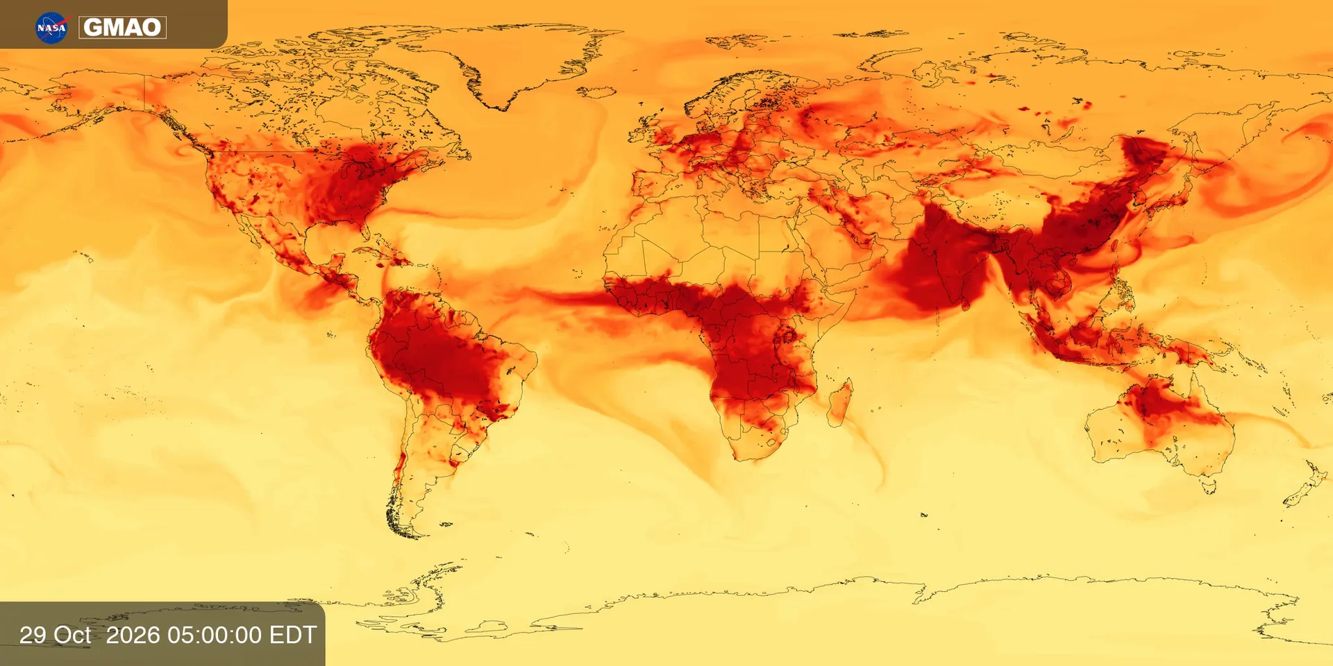
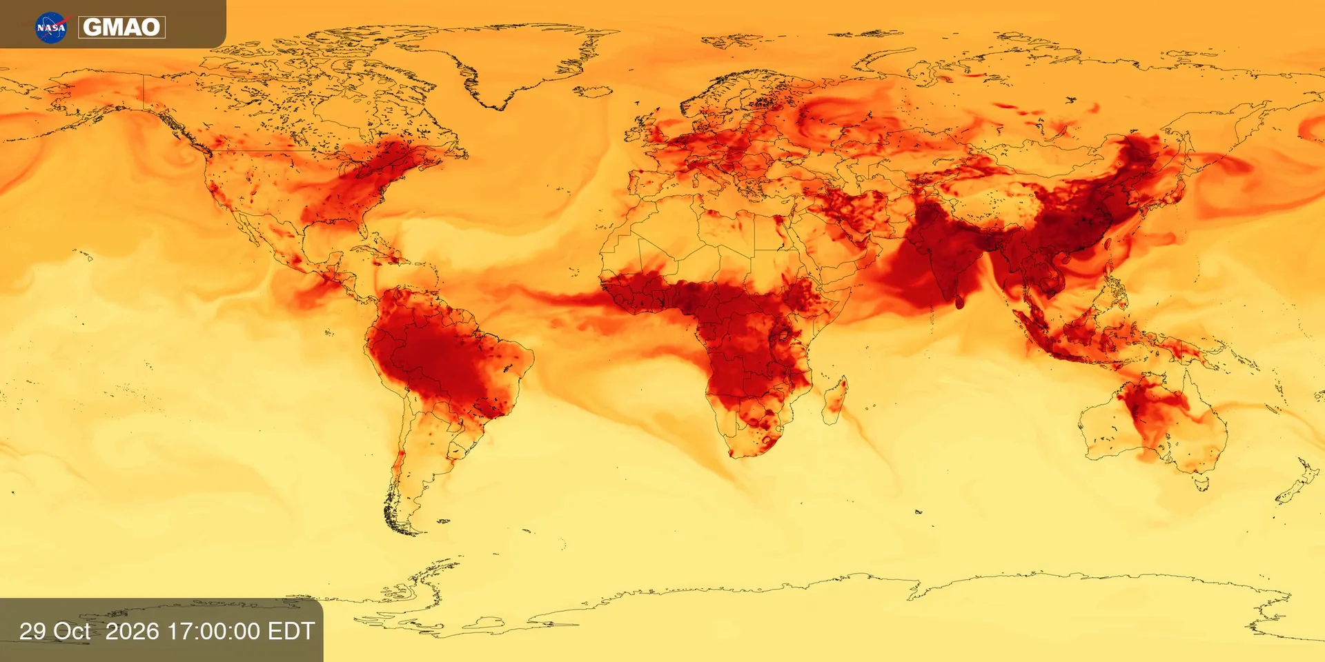
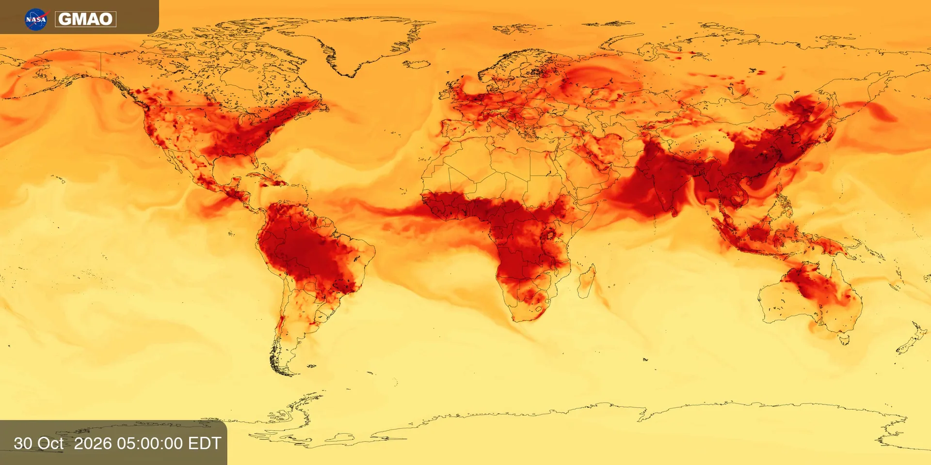
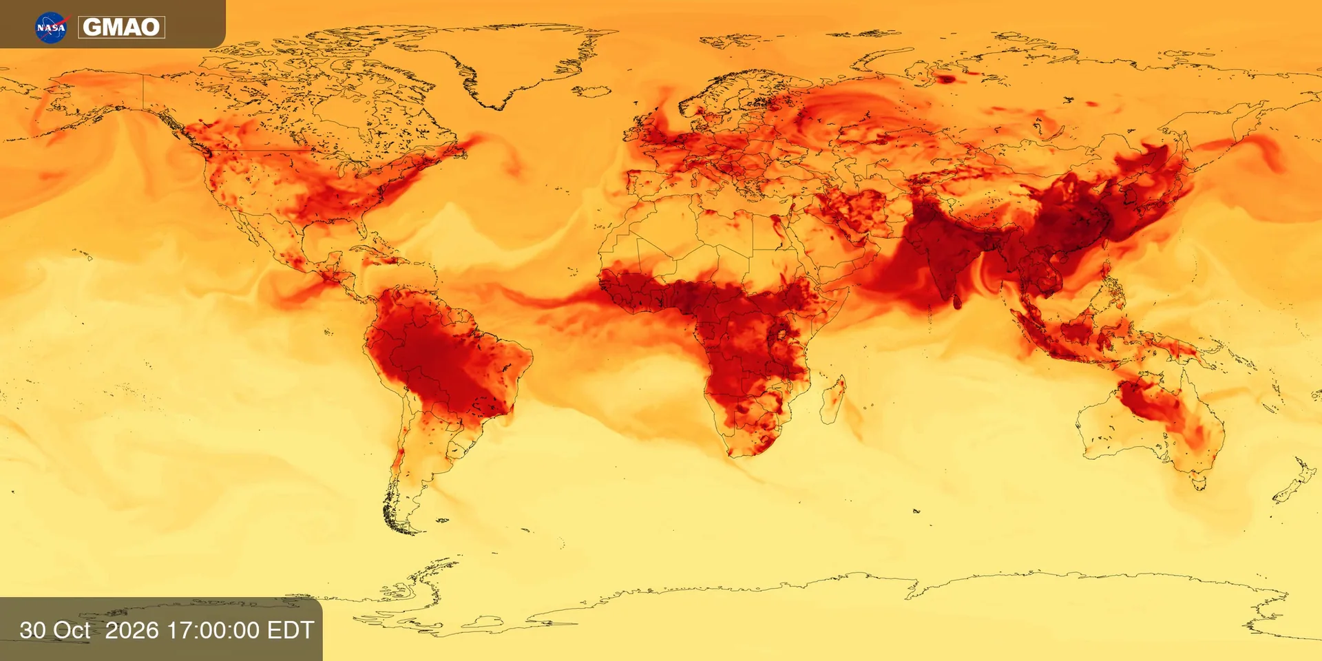
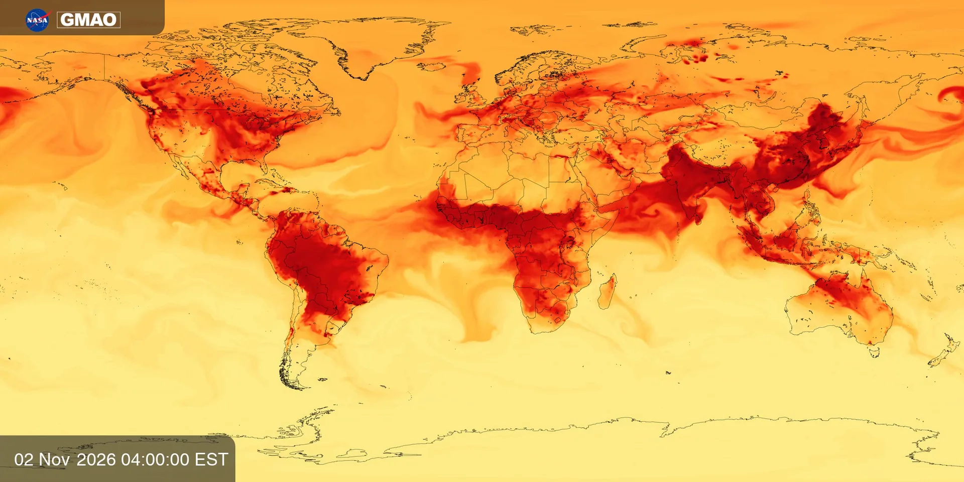
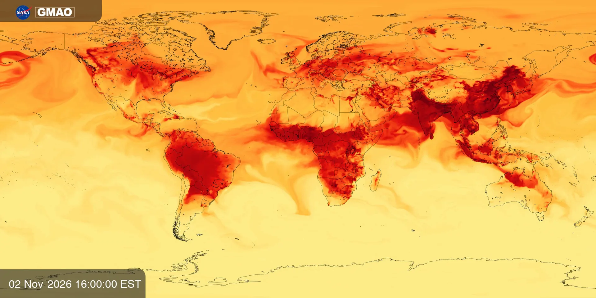
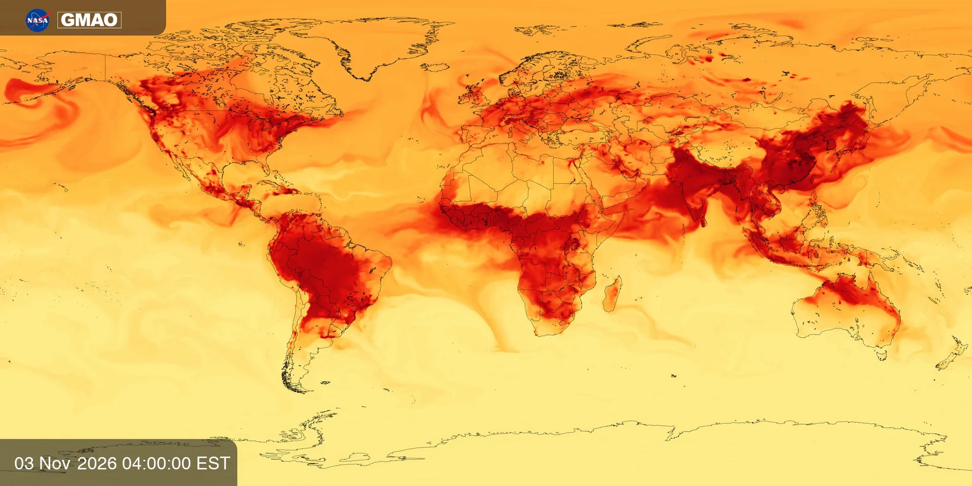
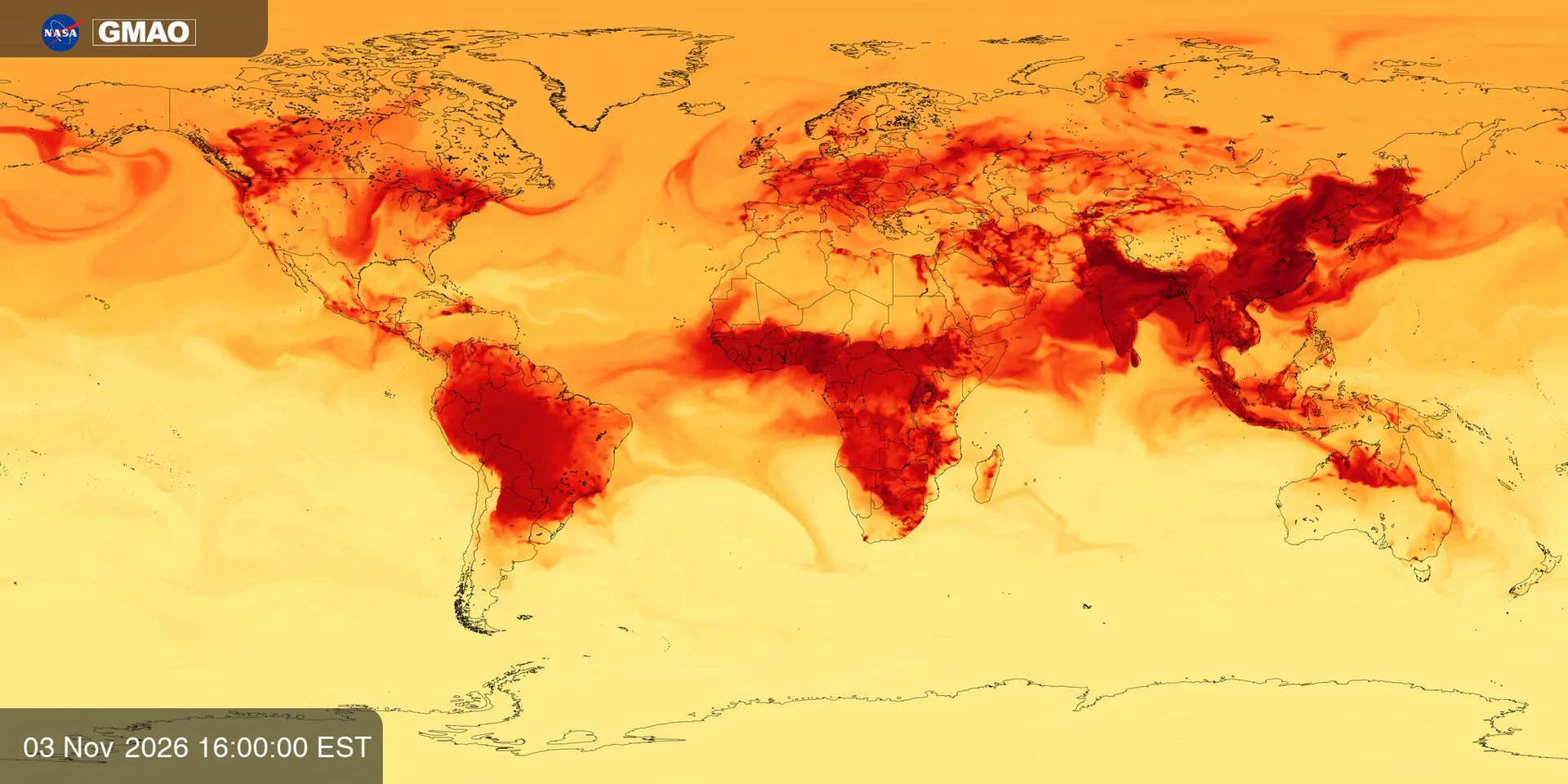
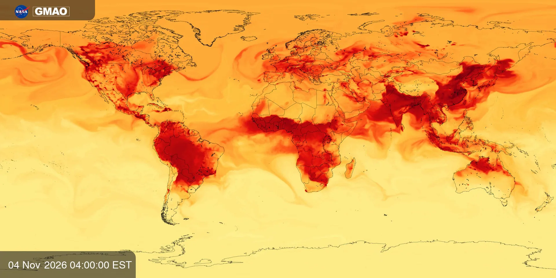
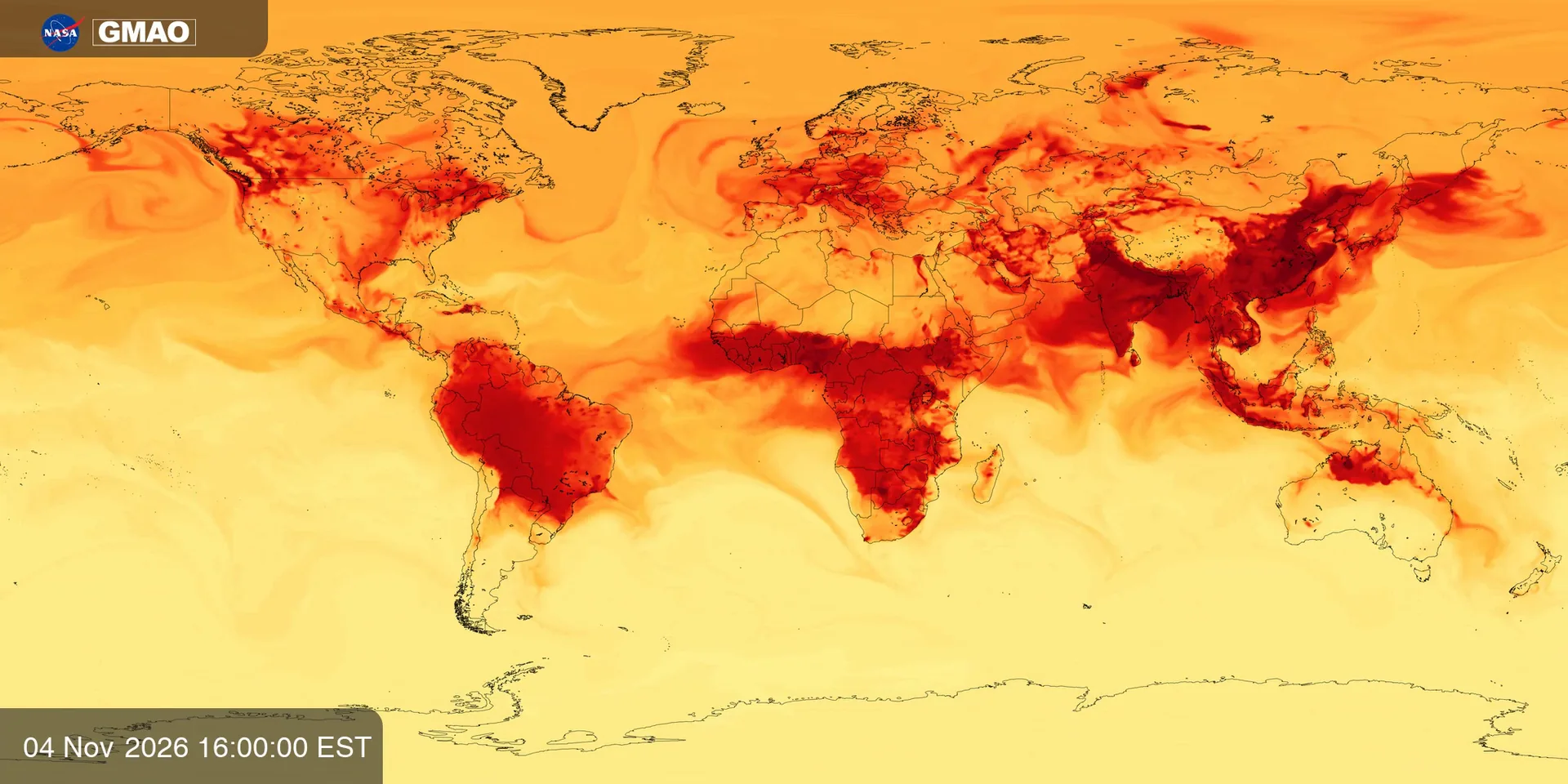
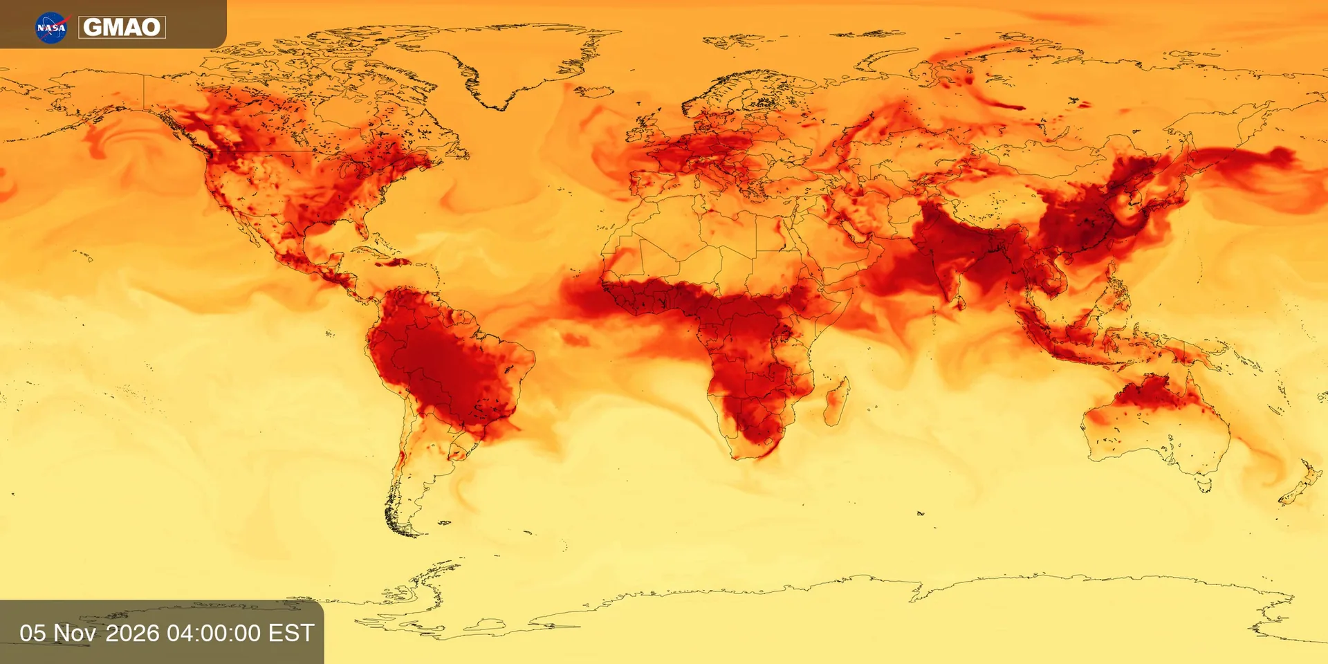
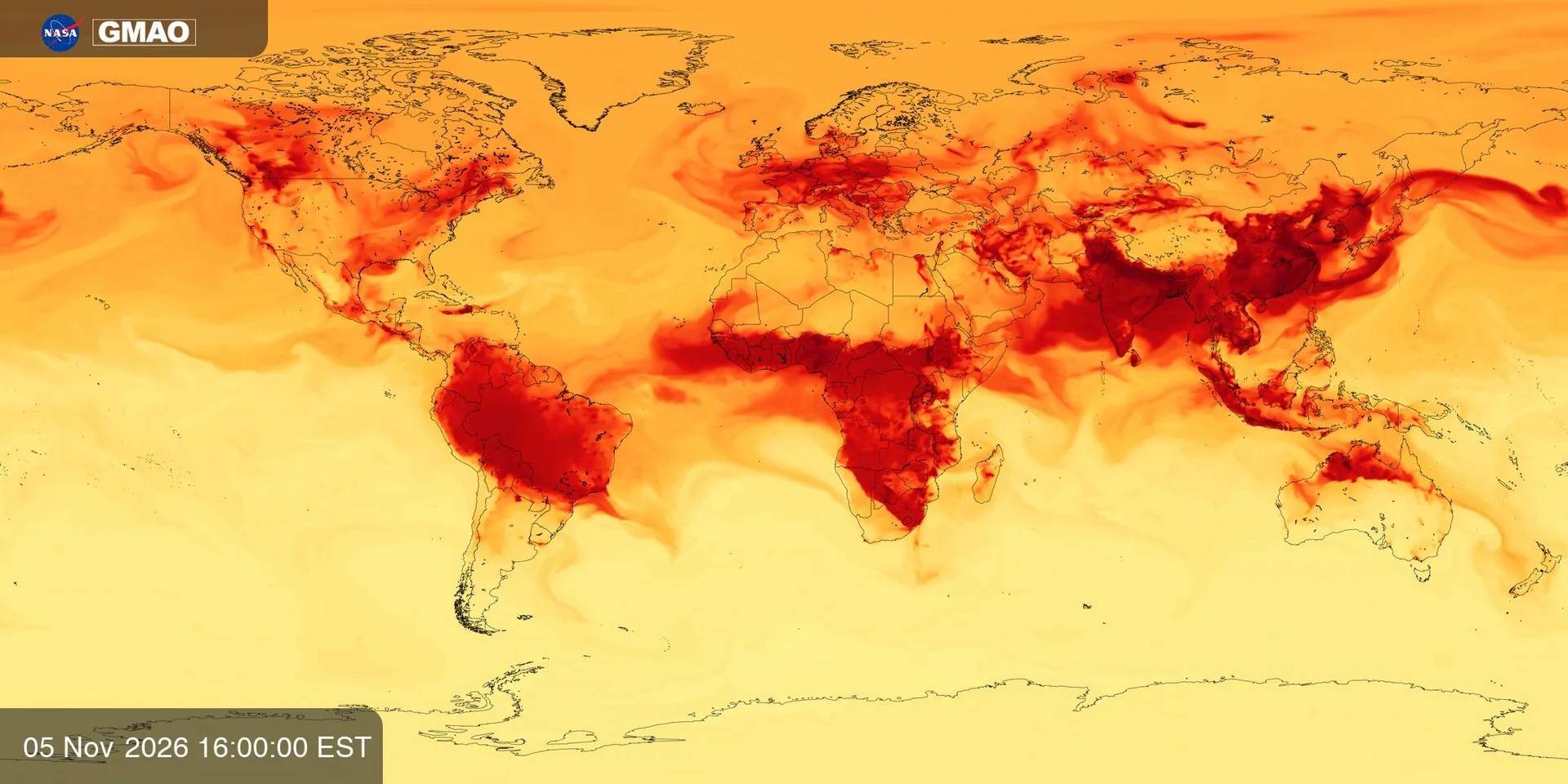
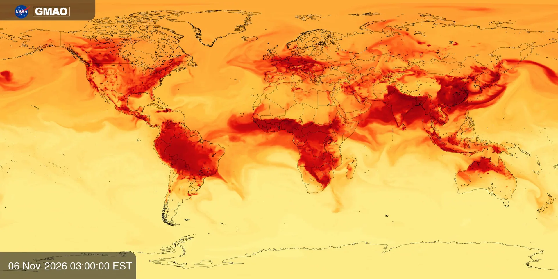
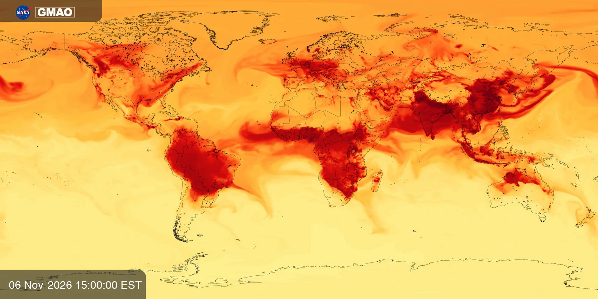
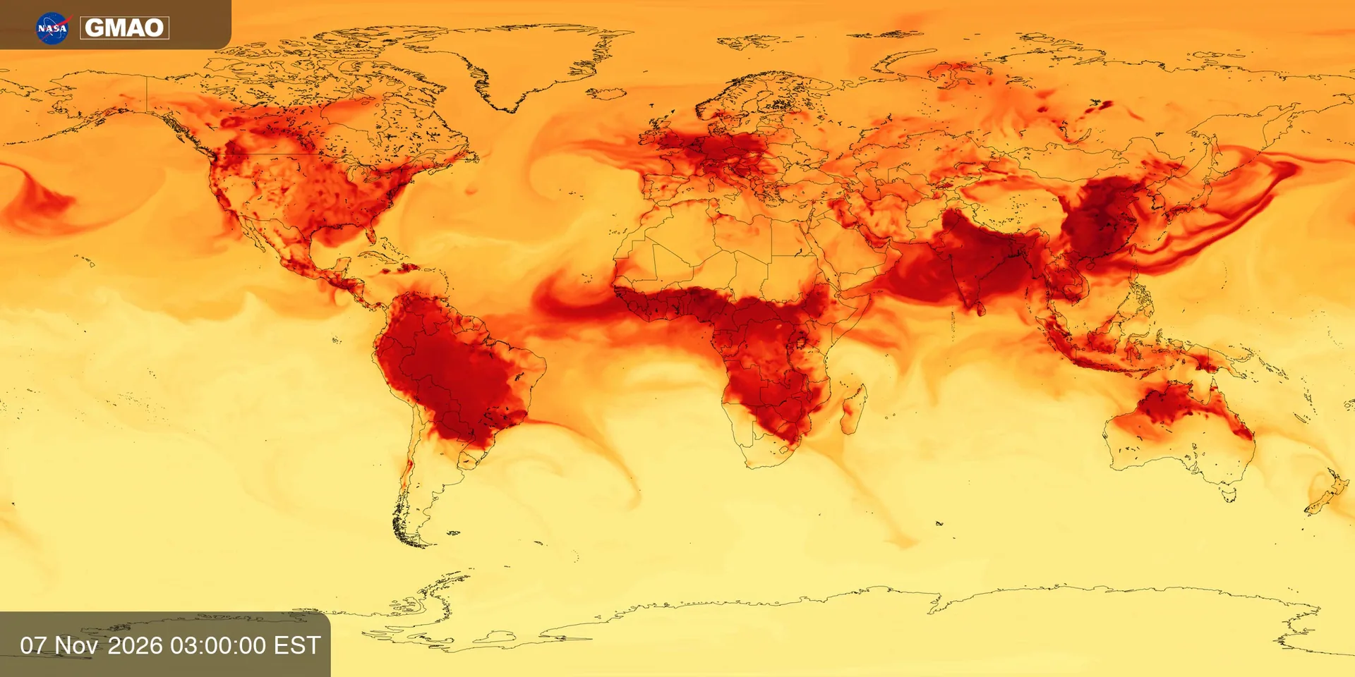
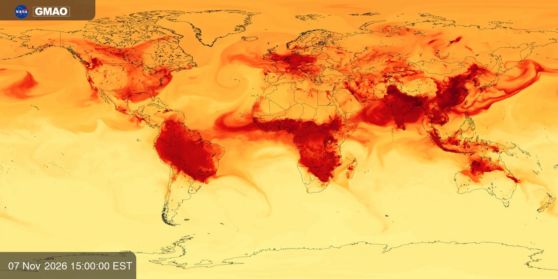
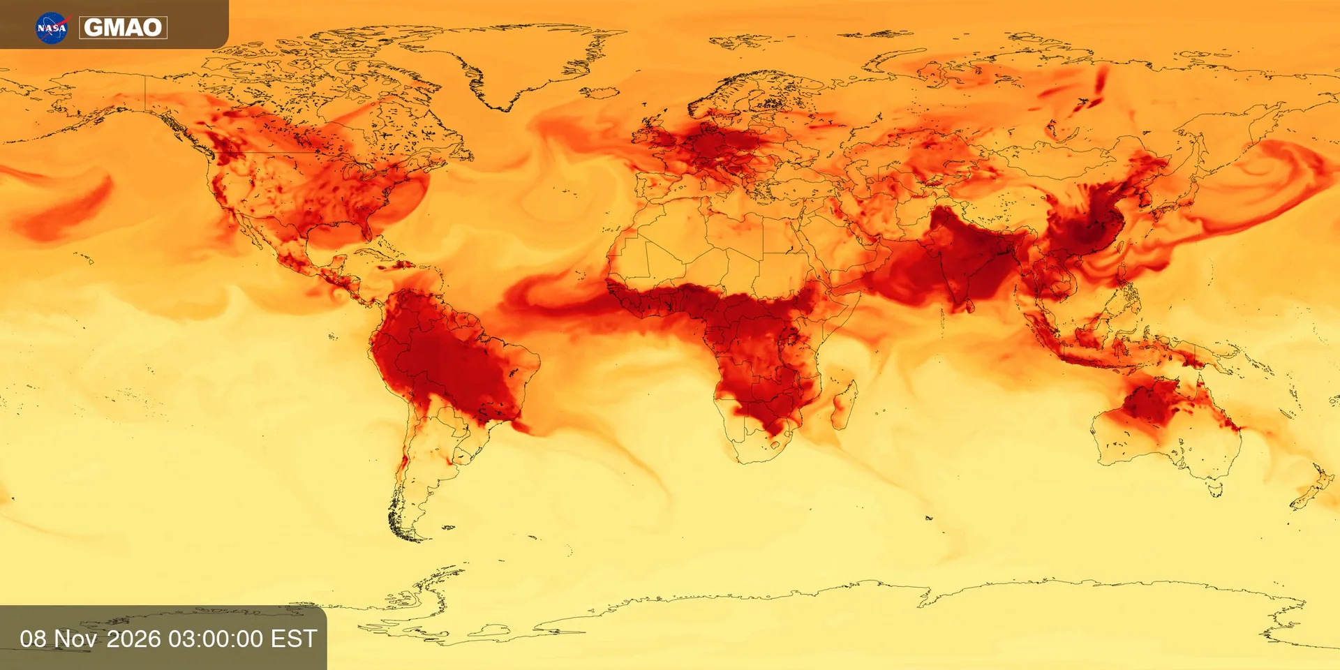
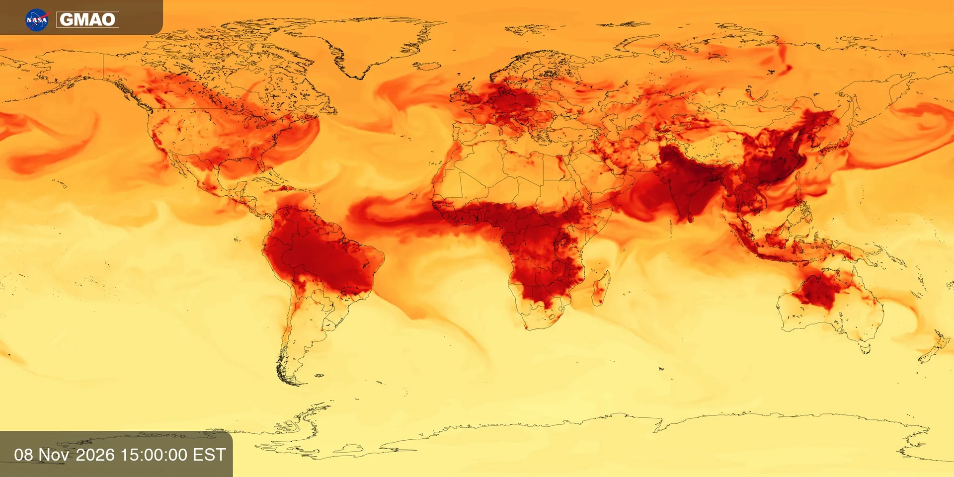
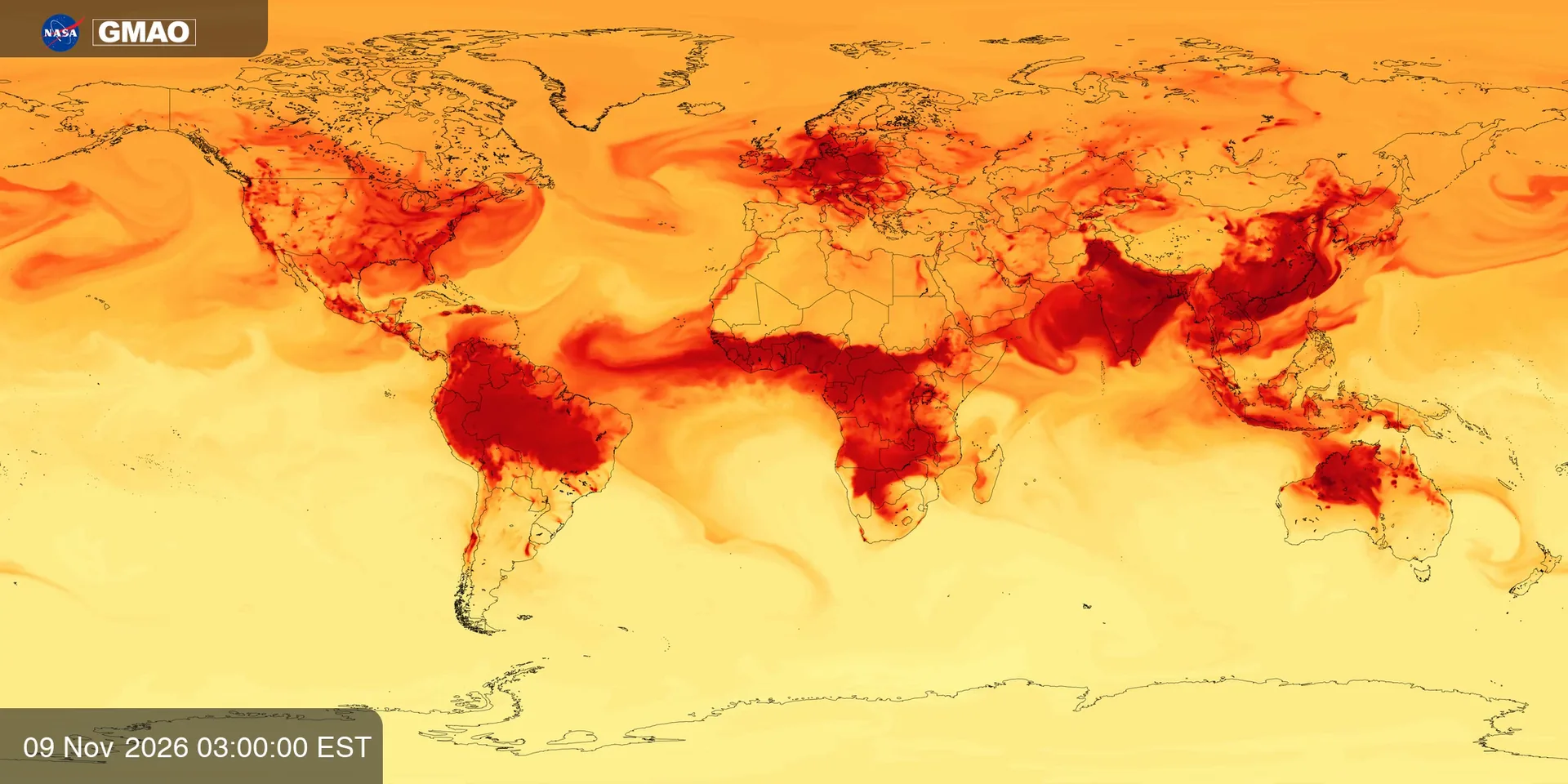
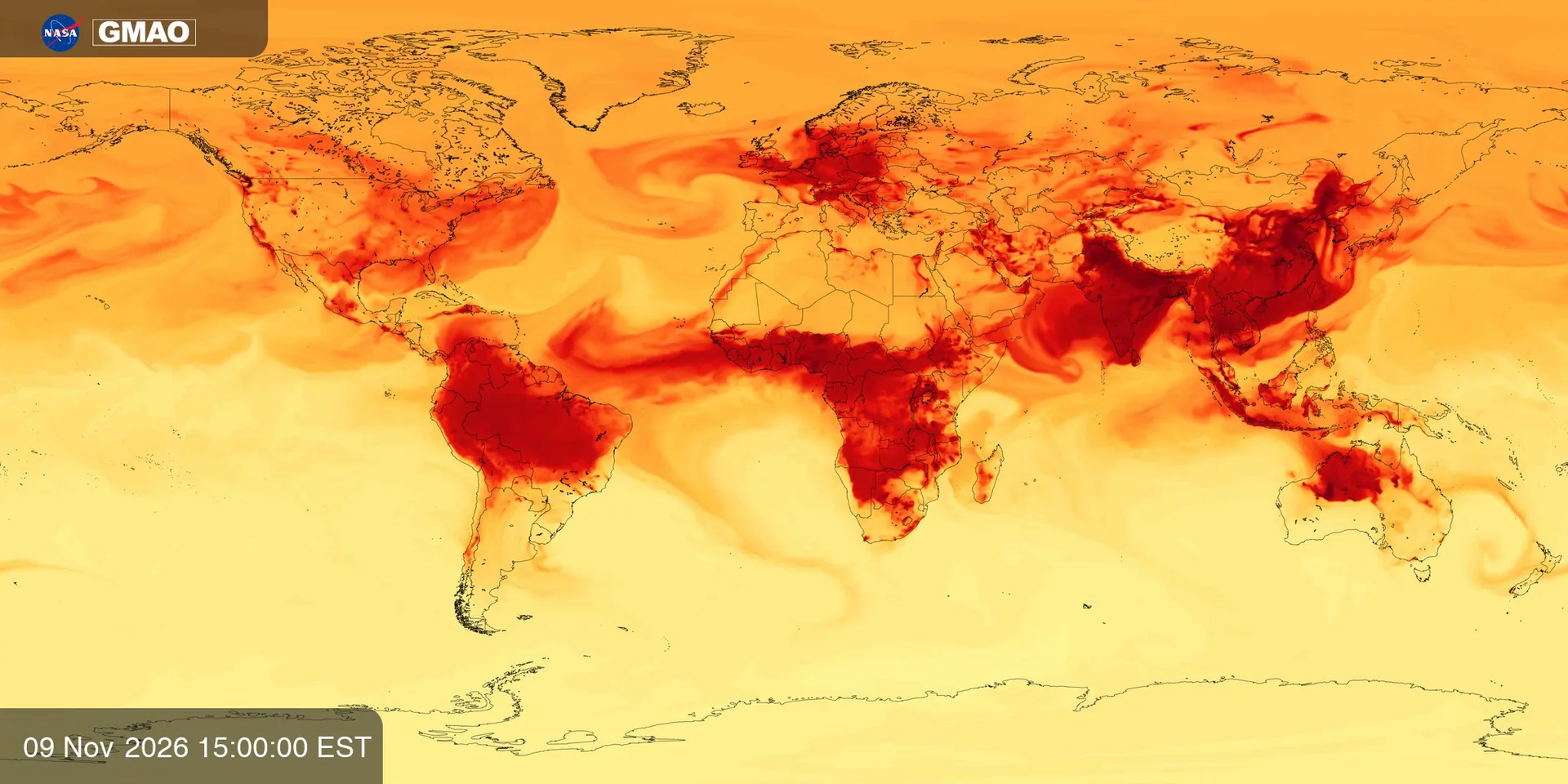
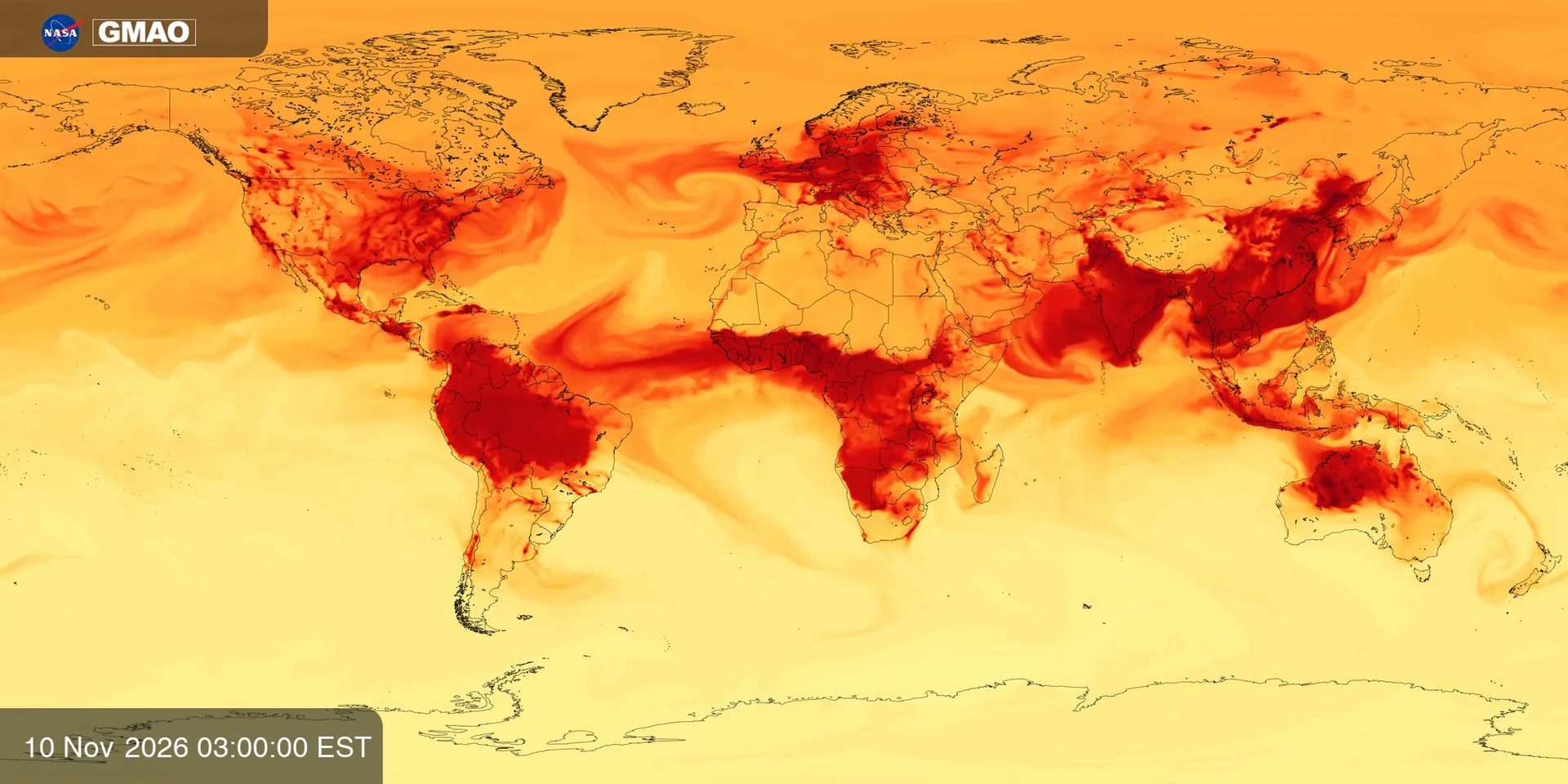
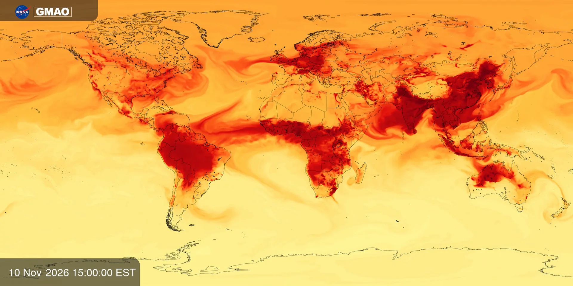
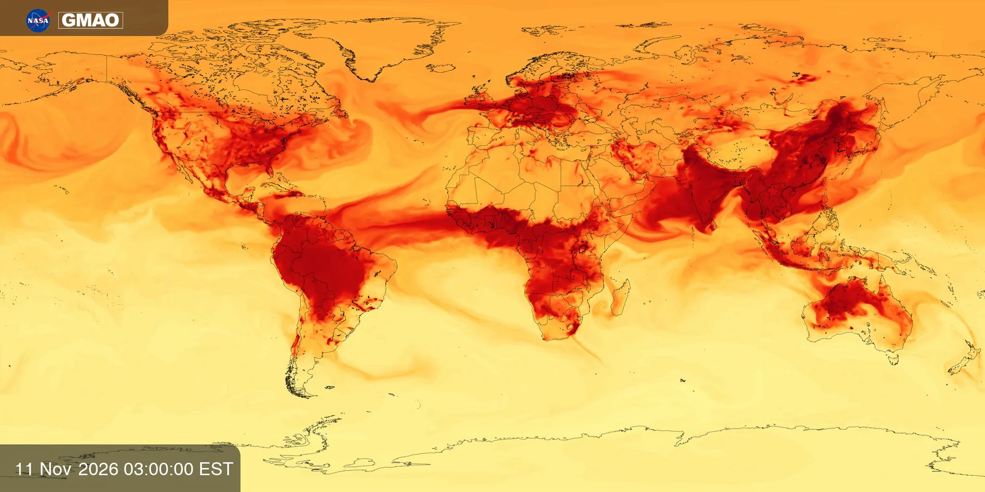
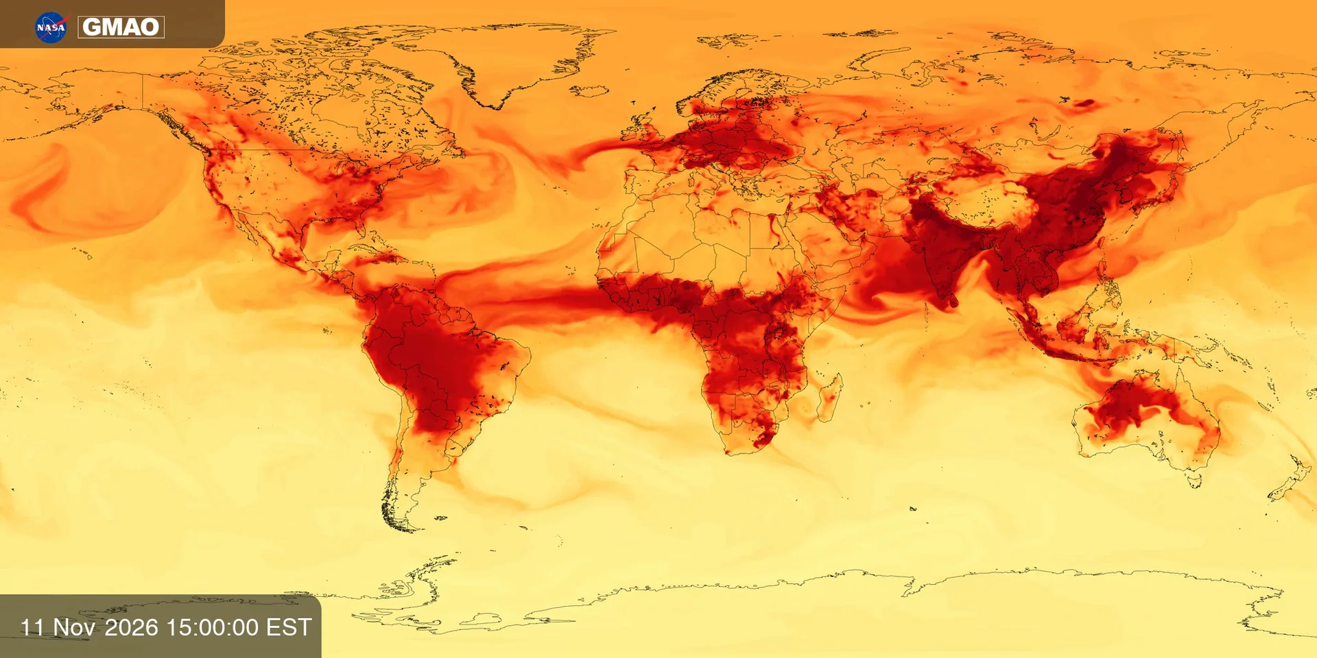
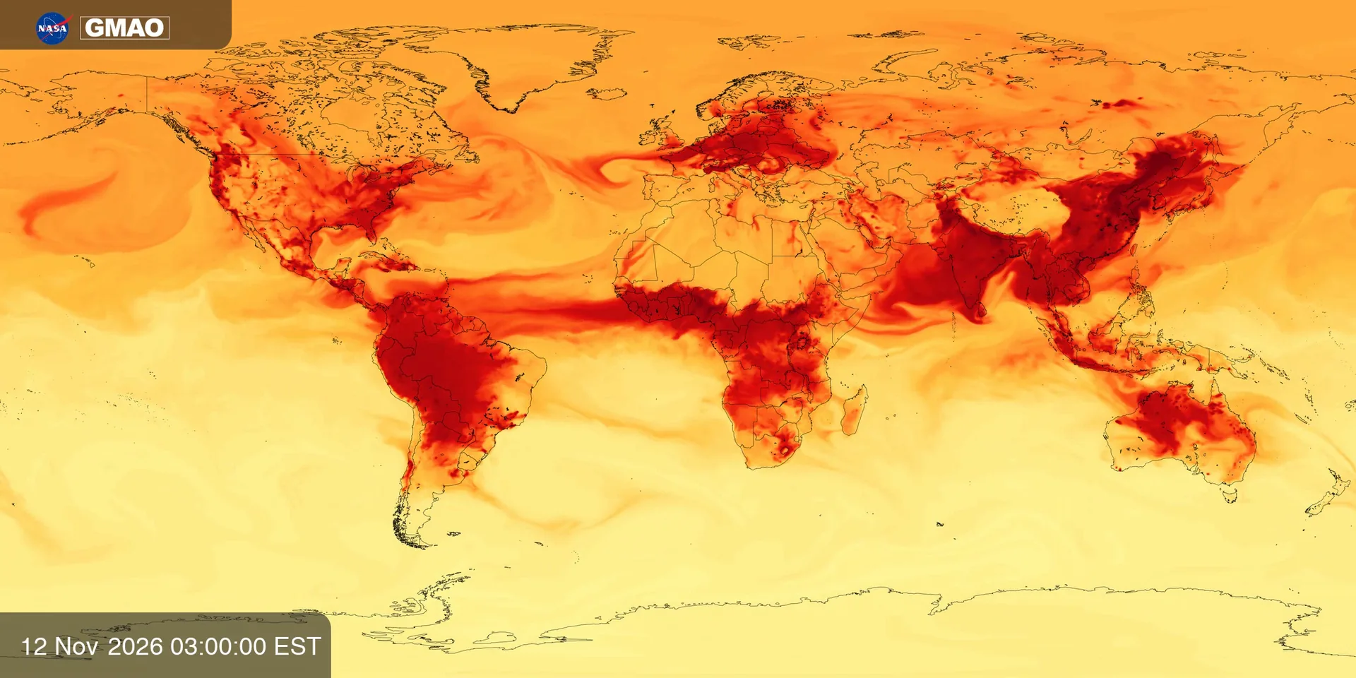
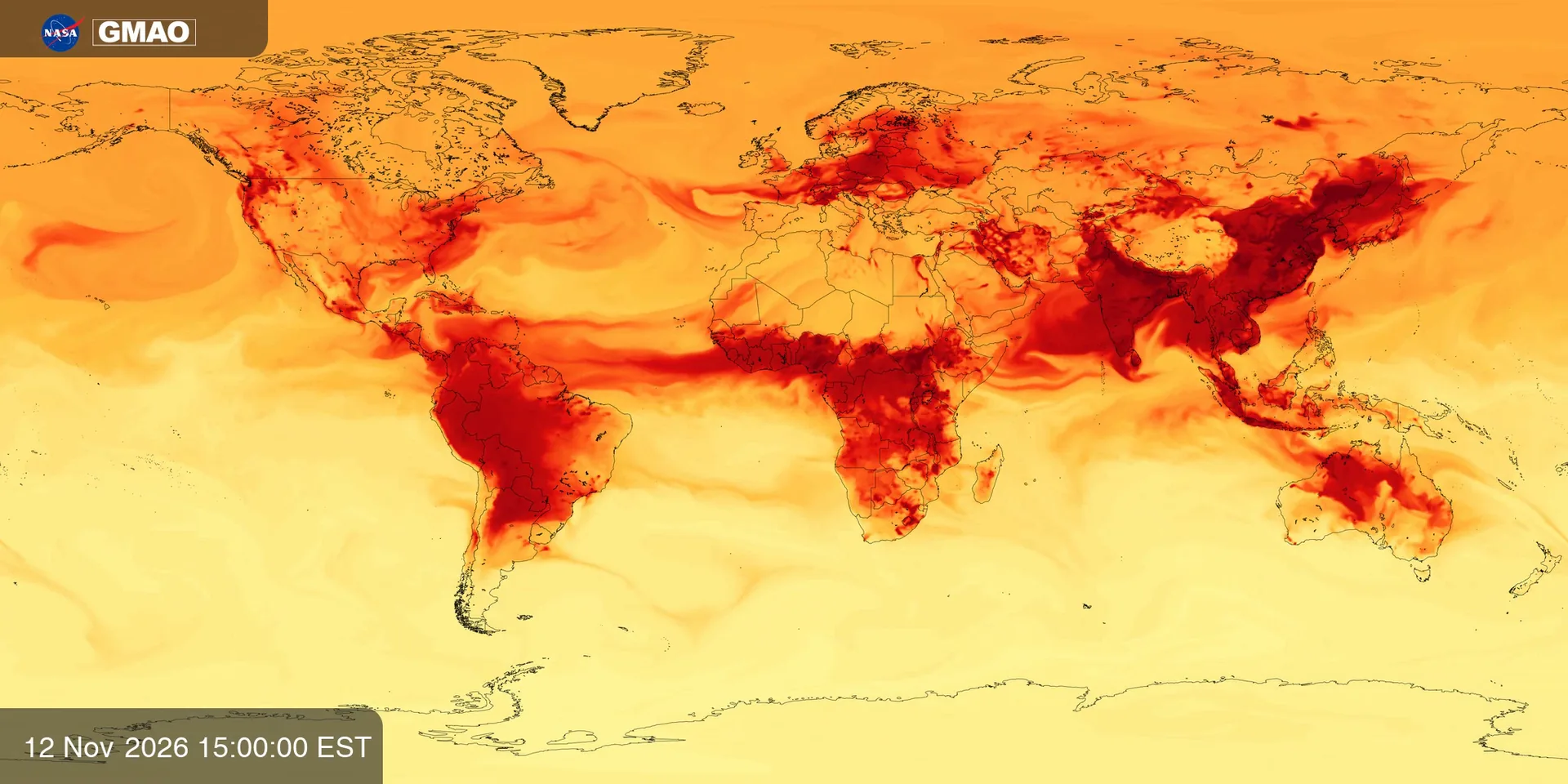
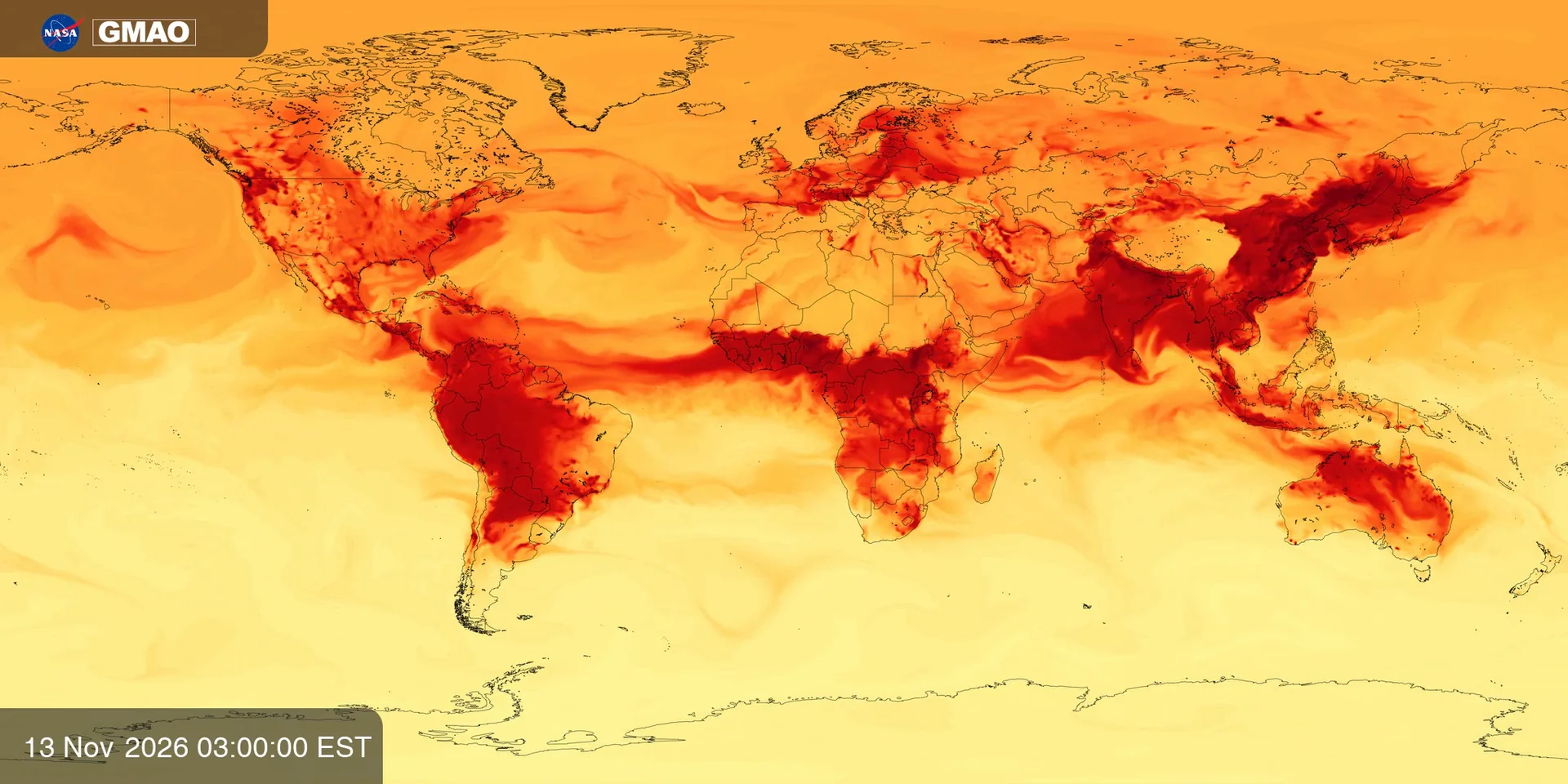
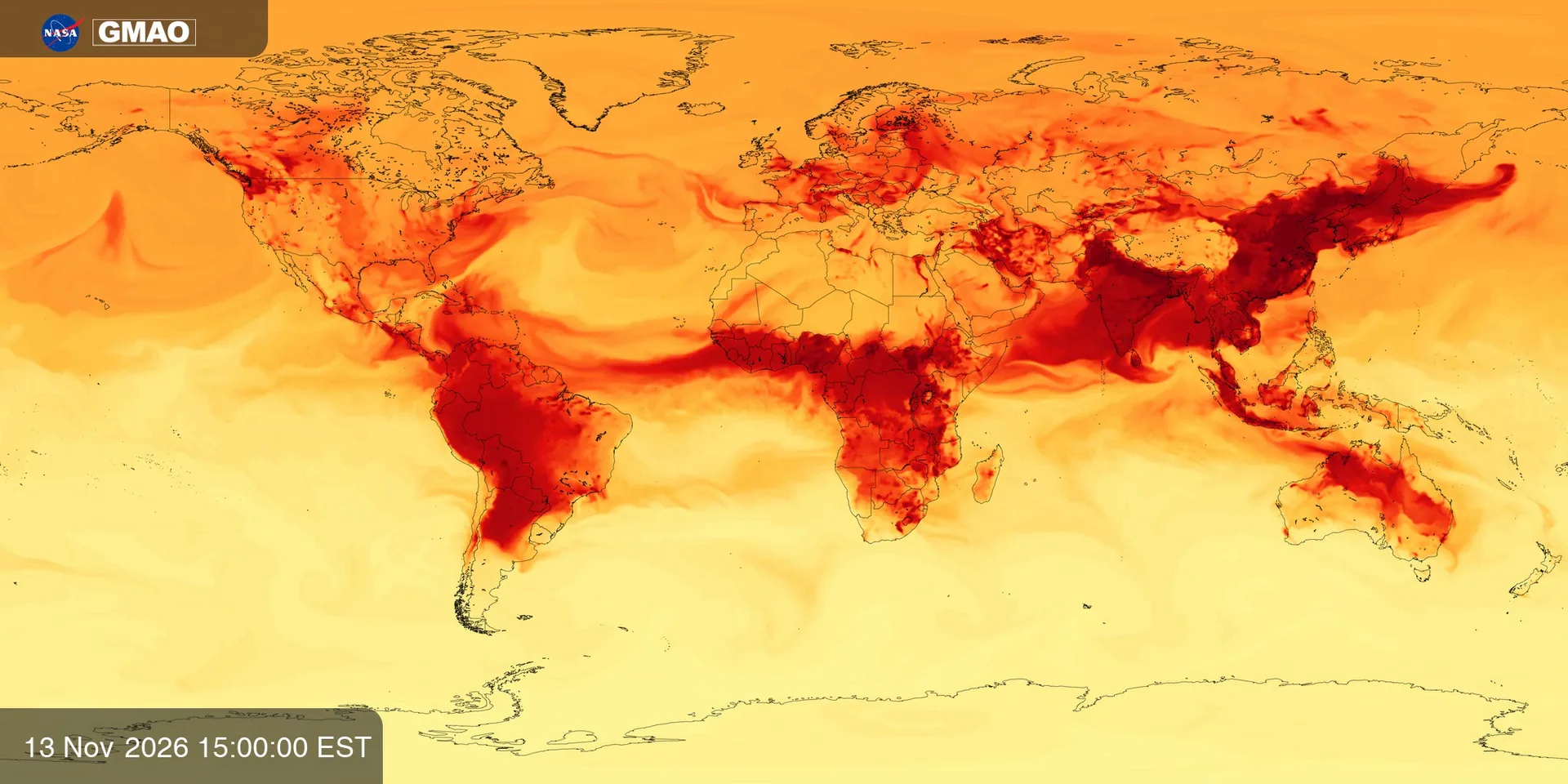
Carbon Monoxide (GEOS-CF)
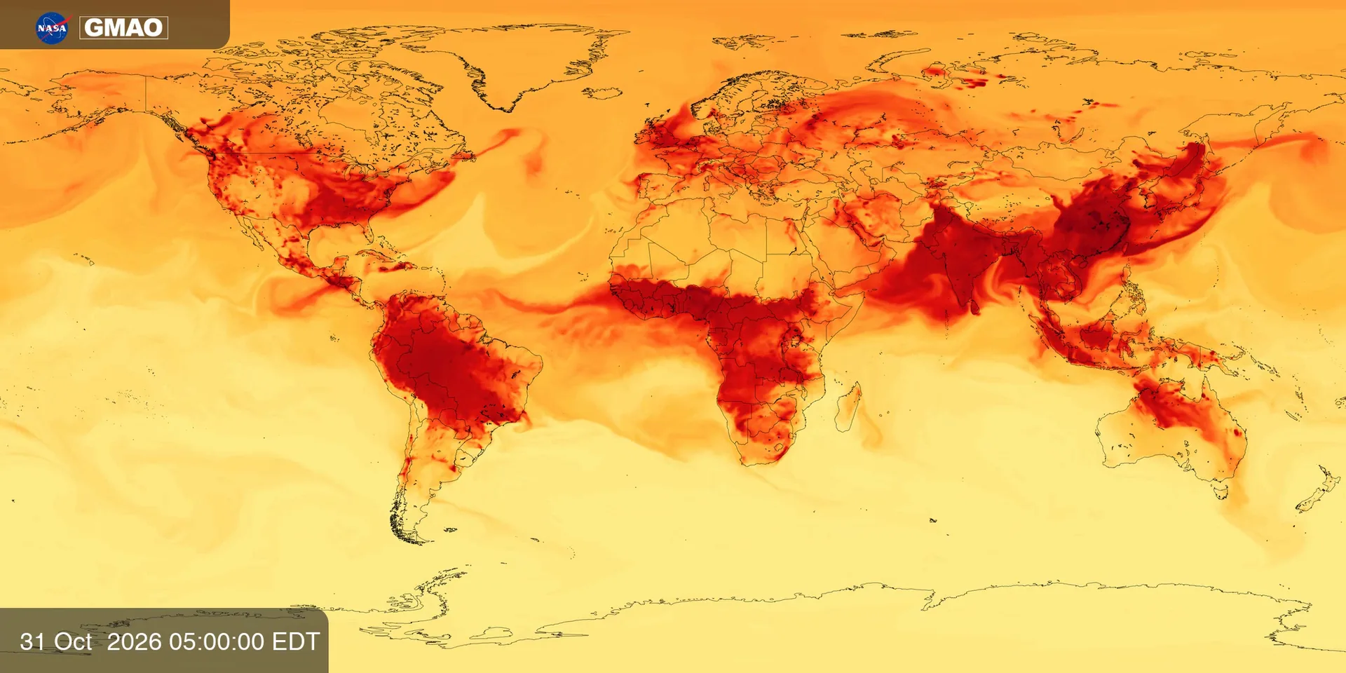
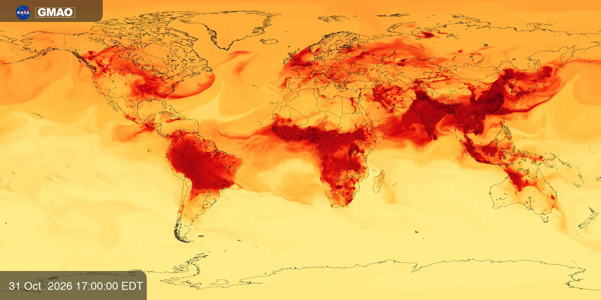
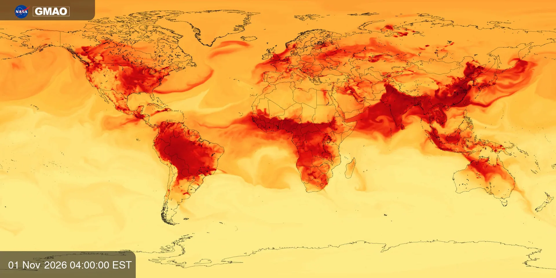
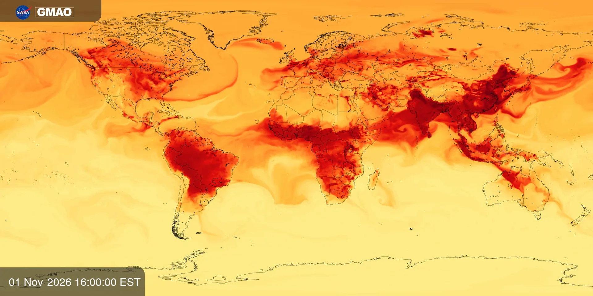
Near-surface carbon monoxide from NASA GEOS-CF model estimates over about two weeks from late October to mid-November 2026. Values are approximate readings from the official color bar, in parts per billion by volume, highlighting combustion plumes from fires, traffic, and industry.
Now: Frame 1, frame 1 of 32: humo denso 0.03, monóxido elevado 0.08, monóxido de carbono 75.9, highest in Sur de Asia.
Source
NASA SVS 5153 · GEOS-CF Carbon Monoxide
Topic: Air quality
This frame (ppbv)
- humo denso0.03
- monóxido elevado0.08
- monóxido de carbono75.9
- Top regionSur de Asia · 159.2
What you hear
- Melody: Monóxido medio: nota más aguda = más humo.
- Instruments: Saxello melody over a dark didgeridoo drone that thickens with dense smoke; hand bells mark elevated carbon monoxide.
- Crystal bells: monóxido elevado.
- Left / right: where on the map the signal is centered.
Keyboard
- SpacePlay / pause
- ← →Previous / next frame
- SSound on / off
- ERadar on / off: it plays the data levels around a point of the map
- DDescribe the current frame
- ClickHear the place and its value on the map
- VVoice guide on / off
- MMap voice on / off
- EscClose panels
- Radar · ArrowsMove it; when you stop, you hear the place and its level
- Radar · Shift + arrowsMove it in bigger steps
- Radar · EnterRepeat where it is
- Radar · SpacePause or play the radar
- Radar · + / −Bigger or smaller area (also the mouse wheel)
- Radar · TabReach the radar controls